Longitude and latitude
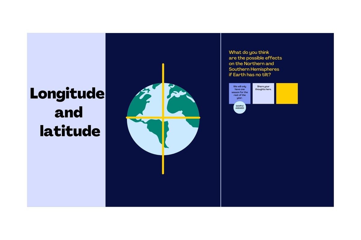
Longitude and latitude are essential geographical coordinates used to pinpoint specific locations on Earth’s surface. They form the foundation of navigation, cartography, and understanding Earth’s spatial relationships.

Longitude: Longitude measures a location’s east-west position relative to the Prime Meridian, an imaginary line passing through Greenwich, England, designated as 0 degrees longitude. Lines of longitude, also called meridians, extend from the North Pole to the South Pole and converge at the poles. Longitude values range from 0 degrees at the Prime Meridian to 180 degrees east and 180 degrees west. Positive values indicate locations east of the Prime Meridian, while negative values indicate locations west.
Latitude: Latitude measures a location’s north-south position relative to the equator, an imaginary line encircling Earth midway between the poles. The equator is designated as 0 degrees latitude, with lines of latitude running parallel to it. Latitude values range from 0 degrees at the equator to 90 degrees north at the North Pole and 90 degrees south at the South Pole
Longitude and Time:
Local time and standard time zones are concepts used to regulate timekeeping and coordinate activities across different regions of the world.
Let’s explore each concept:
- Local Time:
-
- Local time, also known as solar time or true local time, refers to the time based on the position of the Sun in the sky relative to a specific location. It is determined by the apparent movement of the Sun across the sky and varies from one place to another due to differences in longitude.
- Each location has its own local time, which is influenced by factors such as its longitudinal position, seasonal variations, and daylight-saving practices. Local time can differ significantly between neighboring cities or regions, particularly in large countries or regions with irregular borders.
- Standard Time Zones:
-
- Standard time zones are geographical regions that have adopted a standardized system of timekeeping based on uniform offsets from Coordinated Universal Time (UTC), also known as Greenwich Mean Time (GMT). The Earth is divided into 24 standard time zones, each spanning 15 degrees of longitude and representing one hour of time difference.
- Standard time zones are typically centered on meridians of longitude, with the Prime Meridian (0 degrees longitude) serving as the reference point for UTC. Each standard time zone extends roughly 7.5 degrees east and west of its central meridian.
- Time zones are designated using letters of the alphabet (e.g., Eastern Standard Time, Pacific Standard Time) or numerical codes (e.g., UTC+1, UTC-5). The International Date Line (IDL) serves as the boundary between adjacent time zones, with changes in calendar day occurring when crossing from one zone to another.
- Benefits and Applications:
-
- Standard time zones provide a consistent and coordinated system for timekeeping, facilitating global communication, commerce, and transportation. They help synchronize activities across different regions, simplify scheduling and coordination, and reduce confusion associated with varying local times.
- Standard time zones are used in various contexts, including transportation schedules, international meetings and conferences, financial transactions, and telecommunications operations. They also play a crucial role in coordinating activities that span multiple time zones, such as airline flights, shipping operations, and global supply chains.
In summary, local time and standard time zones are complementary systems used to regulate timekeeping and coordinate activities on a regional and global scale. While local time reflects the natural variation in solar positions across different locations, standard time zones provide a standardized framework for timekeeping, ensuring consistency and synchronization in a diverse and interconnected world.
The International Date Line:
The International Date Line (IDL) is an imaginary line that runs from the North Pole to the South Pole, primarily along the 180th meridian of longitude in the Pacific Ocean. It serves as the demarcation line between one calendar day and the next.
Key aspects of the International Date Line include:
- Time Zone Change: Crossing the International Date Line results in a change of calendar day. When traveling westward across the IDL, one subtracts a day, moving from a later date to an earlier date. Conversely, when traveling eastward across the IDL, one adds a day, moving from an earlier date to a later date.
- Discrepancies: The exact path of the International Date Line is not a straight line due to geopolitical considerations, island groupings, and other factors. As a result, there are deviations from the 180th meridian to accommodate territories, islands, and regions that choose to align their calendar days differently.
- Effects on Timekeeping: The International Date Line has implications for global timekeeping and coordination. It is a critical reference point for establishing time zones and coordinating activities across different regions of the world. Time zone adjustments are made to ensure that neighboring regions with significant economic, social, or cultural ties maintain synchronized timekeeping despite crossing the IDL.
- Historical Significance: The concept of the International Date Line emerged in the 19th century as a means to address discrepancies in global timekeeping arising from the adoption of standardized time zones. The IDL was officially established at the International Meridian Conference in 1884, where representatives from various countries agreed on its placement and function.
- Practical Implications: The International Date Line affects travelers, international commerce, and communication systems. Airline schedules, shipping routes, and telecommunications networks must account for the IDL when planning routes, scheduling operations, and coordinating activities across multiple time zones.
Overall, the International Date Line serves as a symbolic and practical boundary between consecutive calendar days, facilitating global timekeeping, coordination, and synchronization across different regions of the world. Its existence reflects the interconnectedness of global society and the need for standardized systems to manage time and date-related functions on a planetary scale.


nice