Exploring the Various Types of River Erosion Landforms
Rivers are powerful agents of erosion, shaping the Earth’s surface over millions of years. Through the process of river erosion, landforms of various shapes and sizes are created, each with its unique characteristics and significance. In this article, we’ll delve into the different types of river erosion landforms, understanding their formation, importance, and human impact.
Introduction to River Erosion
Rivers erode the landscape through several processes, including hydraulic action, abrasion, attrition, and solution. These processes work together to carve out landforms that exhibit the dynamic nature of river systems.
Fluvial Processes
Hydraulic Action
Hydraulic action refers to the force of moving water against the riverbanks, dislodging and transporting sediment particles.
Abrasion
Abrasion occurs when sediment particles carried by the river wear away the riverbed and banks, creating smooth or irregular surfaces.
Attrition
Attrition happens when sediment particles collide with each other, breaking into smaller pieces as they are transported downstream.
Solution
Solution involves the chemical dissolution of soluble rocks, such as limestone, by acidic river water, leading to the formation of features like caves and sinkholes.
Types of River Erosion Landforms
Rivers are dynamic natural forces that continuously shape the Earth’s surface through erosion, deposition, and transportation of sediment. Along their course, rivers create a variety of landforms that reflect the complex interplay of geological processes. Let’s explore some additional types of river erosion landforms:
Valley Formation
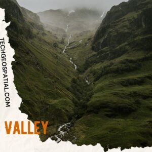
Valleys are elongated depressions in the Earth’s surface, typically formed by the erosive action of rivers over time. They can vary in size, shape, and formation process.
V-shaped Valleys
V-shaped valleys are characterized by steep, narrow sides and a narrow bottom. They are commonly found in the upper course of rivers where the force of flowing water cuts deeply into the landscape, creating a distinctive V-shaped cross-section.
U-shaped Valley
U-shaped valleys have a wide, flat bottom and steep, straight sides that curve gently upwards. These valleys are often formed by glaciers during periods of glaciation, but rivers can also contribute to their formation through erosion and sediment deposition.
Hanging Valley
A hanging valley is a smaller, tributary valley that is elevated above the main valley floor. They are formed when a smaller stream or glacier flows into a larger, deeper valley, resulting in a noticeable difference in elevation between the two valleys.
Gorges/Canyons
Gorges, also known as canyons, are deep, narrow valleys with steep rocky walls. They are typically formed by the erosive action of rivers cutting through resistant rock over long periods of time. Gorges can vary in size and scale, from small, intimate canyons to vast, dramatic landscapes like the Grand Canyon.
Waterfalls

These features are created by the sudden changes in elevation along a river’s course, resulting in the formation of turbulent water flow and scenic landscapes.
- Waterfalls are characterized by a vertical drop in the river’s flow, often over a resistant rock layer. They can range from small, picturesque cascades to towering, thunderous falls like Niagara Falls.
- Rapids & Cascades refer to sections of a river where the water flows swiftly over a series of rocky obstacles, creating turbulence and whitewater. Rapids are often found in mountainous regions or areas with steep gradients.
- Cataracts are large, powerful waterfalls or rapids formed by a sudden drop in elevation over a series of rocky ledges or steps. They are typically found in rivers with significant changes in elevation, such as the Nile River in Africa.
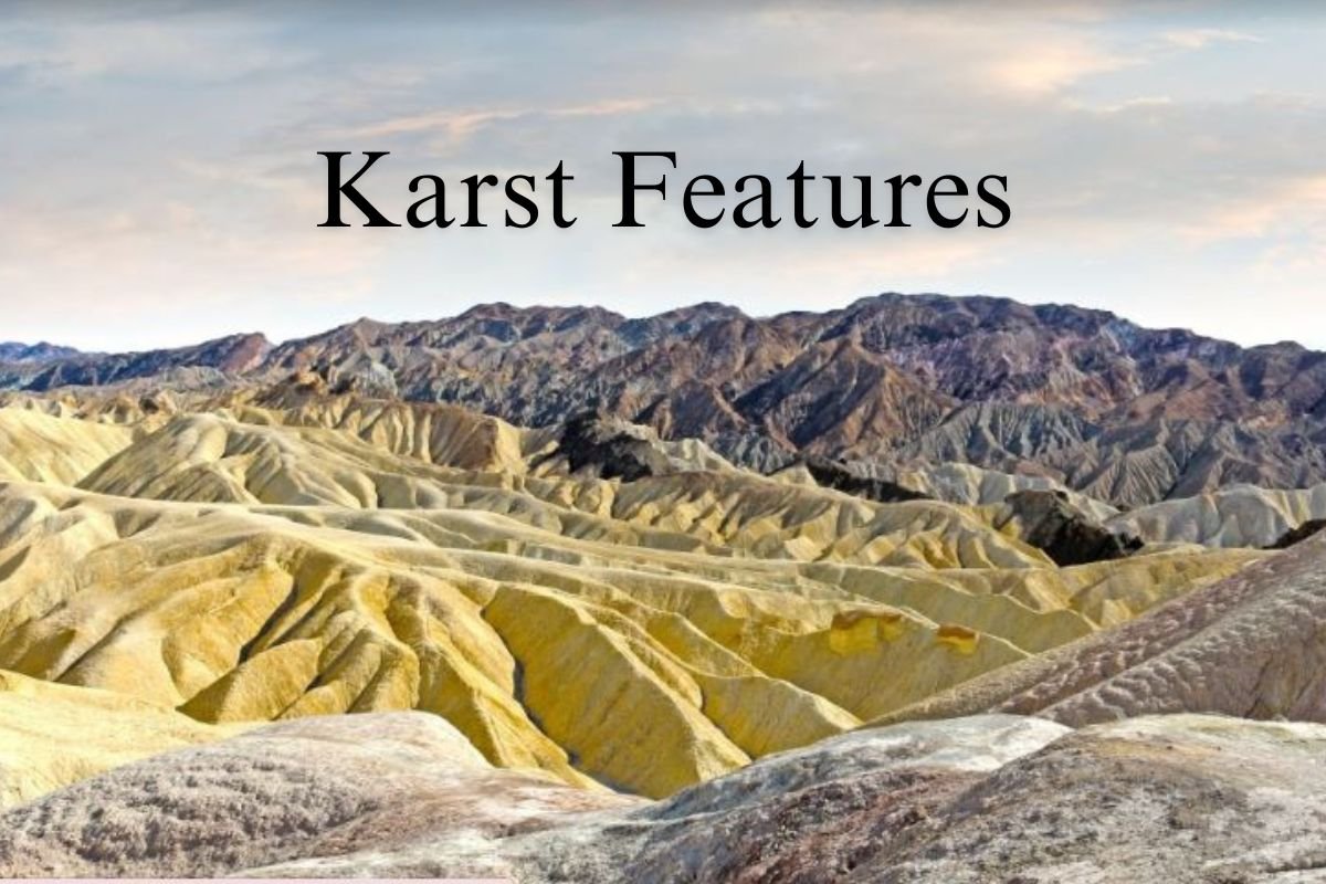
Badlands
Badlands are a type of dry terrain characterized by steep slopes, minimal vegetation, and intricate erosion patterns. They are often formed in arid regions where soft sedimentary rock is easily eroded by wind and water, creating unique landscapes of rugged beauty.
Interlocking Spurs
Interlocking spurs are ridges of resistant rock that protrude into a river valley, forcing the river to meander around them. They are typically found in mountainous regions where the river follows the path of least resistance, resulting in a zigzagging course.
Hogback & Cuestas
Hogbacks are long, narrow ridges of resistant rock that rise steeply from the surrounding landscape. They are often formed by the uplift of geological layers, resulting in a distinctive ridge-like appearance.
Cuestas are elongated ridges with a gentle slope on one side and a steep slope on the other. They are formed by the differential erosion of tilted rock layers, creating a series of parallel ridges and valleys.
Domes and Ridges
Domes are circular or elliptical-shaped landforms characterized by a steeply sloping surface that rises from the surrounding terrain. They are often formed by the uplift of underlying rock layers, creating a distinctive dome-like structure.
Ridges are elongated landforms with a narrow crest and steep sides, formed by the erosion of resistant rock layers. They can vary in size and shape, ranging from small, isolated ridges to extensive mountain ranges.
Pothole Drilling
Pothole drilling refers to the process by which swirling water carries abrasive sediment particles that gradually erode the riverbed, creating cylindrical depressions known as potholes. These features are typically found in areas with fast-flowing water and abrasive bedrock.
River Capture or Piracy
River capture, also known as river piracy, occurs when one river captures the flow of another river, diverting its water and altering its course. This phenomenon can be caused by tectonic movements, changes in sea level, or the erosion of a new channel by the capturing river.
Meanders
Meanders are sinuous bends or curves in a river’s course, formed as the river erodes the outer bank of a bend and deposits sediment on the inner bank. Over time, meanders migrate laterally across the landscape, creating distinctive loops and oxbow lakes.
Oxbow Lakes
Oxbow lakes are crescent-shaped bodies of water formed when a meander loop is cut off from the main river channel. As erosion and sediment deposition gradually narrow the neck of the meander, the loop eventually becomes isolated, forming a tranquil oxbow lake.
River Terraces
River terraces are flat, raised surfaces along river valleys, formed through alternating periods of erosion and deposition. These terraces are often remnants of former floodplains, indicating changes in river behavior over time.
Delta
Deltas are triangular landforms formed at the mouth of a river, where sediment carried by the river is deposited. Over time, the accumulation of sediment creates fertile land and diverse ecosystems, making deltas important habitats for wildlife.
Importance of River Erosion Landforms
River erosion landforms play a crucial role in shaping landscapes, providing habitats for wildlife, influencing weather patterns, and supporting human activities such as agriculture, tourism, and transportation.
Human Impact on River Erosion Landforms
Human activities such as deforestation, urbanization, dam construction, and pollution can disrupt natural river processes, leading to erosion, sedimentation, and loss of biodiversity in river ecosystems.
Conservation of River Erosion Landforms
Efforts to conserve river erosion landforms involve sustainable land management practices, watershed protection, restoration of riparian vegetation, and regulation of water flow to minimize the impact of human activities on river systems.
Conclusion
River erosion landforms are dynamic features shaped by the relentless force of water over time. Understanding their formation, significance, and conservation is essential for preserving these natural wonders for future generations to enjoy and appreciate.
Unique FAQs
- What causes rivers to erode landforms? Rivers erode landforms through processes such as hydraulic action, abrasion, attrition, and solution, influenced by factors like water velocity, sediment load, and rock type.
- How do waterfalls form? Waterfalls form when a river flows over a resistant rock layer, creating a sudden drop in elevation, often due to variations in rock hardness and river gradient.
- What is the significance of river terraces? River terraces are important because they provide valuable insights into past river behavior and environmental changes, serving as indicators of landscape evolution.
- How do human activities impact river erosion landforms? Human activities such as deforestation, urbanization, and pollution can accelerate erosion and sedimentation processes, leading to the degradation of river ecosystems and loss of biodiversity.
- What measures can be taken to conserve river erosion landforms? Conservation efforts include sustainable land management, watershed protection, restoration of riparian habitats, and regulation of water flow to minimize human-induced impacts on river systems.

