Terrestrial Features of the Earth
The Earth is home to a diverse range of terrestrial features that shape its landscapes and provide habitats for life. From towering mountains to expansive plains, these features are the result of geological processes, weathering, erosion, and other natural phenomena.
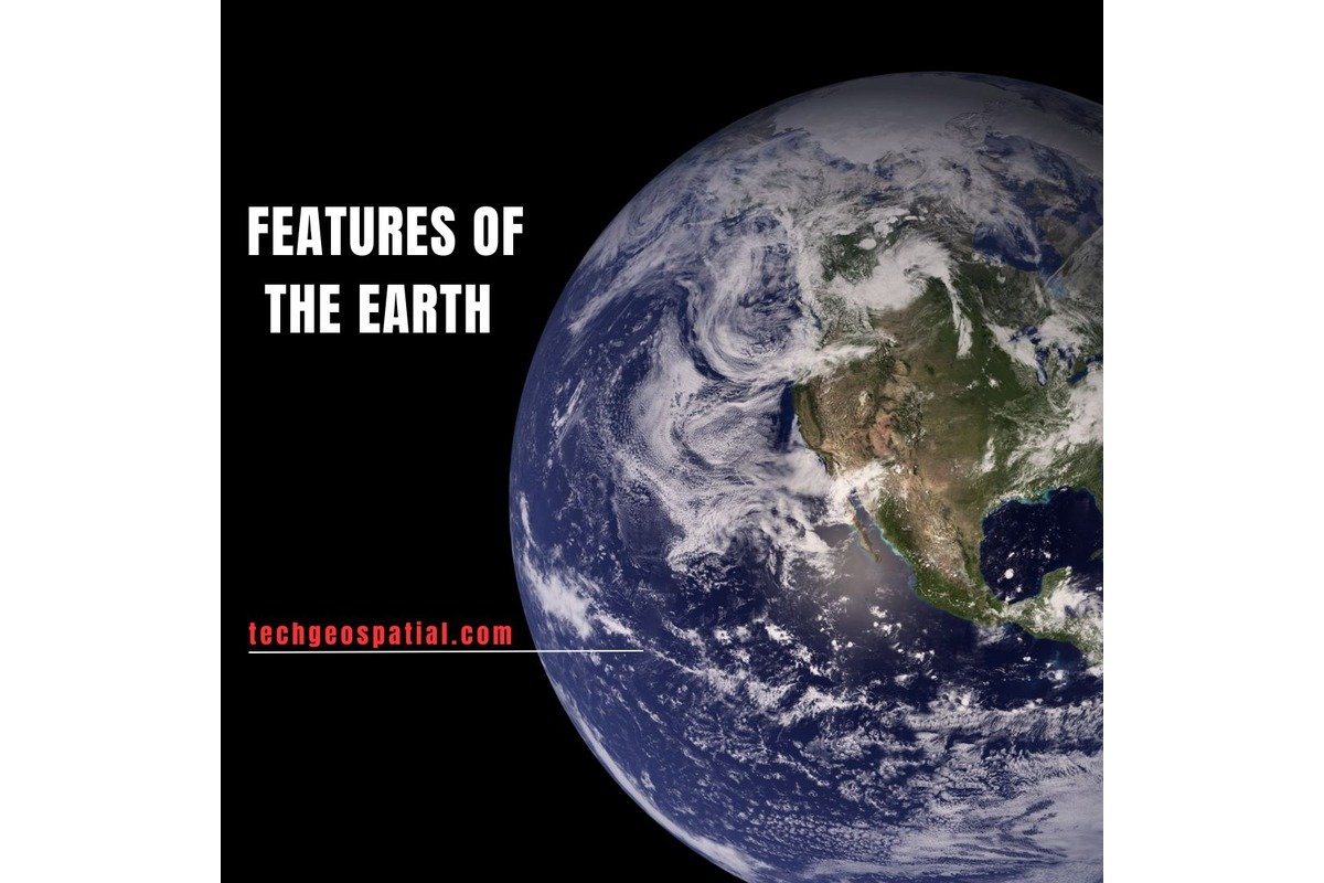
Let’s explore some of the key terrestrial features of the Earth:
- Mountains: Mountains are towering landforms that rise prominently above their surroundings, typically with steep slopes and rugged terrain. They are formed through tectonic processes such as continental collision, volcanic activity, and uplift. Mountains play crucial roles in regulating weather patterns, providing habitats for diverse ecosystems, and serving as sources of freshwater through rivers and streams.
- Valleys: Valleys are low-lying areas between mountains or hills, often carved by erosion from rivers, glaciers, or tectonic activity. They can vary in size from narrow, steep-walled canyons to broad, gently sloping valleys. Valleys are important features for agriculture, transportation, and settlement, as they often contain fertile soil and water resources.
- Plains: Plains are vast expanses of flat or gently rolling land, characterized by fertile soils and grasslands. They can be formed through sediment deposition by rivers, glaciers, or wind, or by the gradual erosion of elevated areas. Plains support a variety of ecosystems, including prairies, savannas, and steppes, and are often used for agriculture and grazing.
- Plateaus: Plateaus are elevated flat-topped landforms with steep sides, often surrounded by lower-lying areas. They can be formed through volcanic activity, tectonic uplift, or erosion of surrounding terrain. Plateaus are valuable for their natural resources, including minerals, forests, and water sources, and are often home to unique ecosystems adapted to high-altitude environments.
- Deserts: Deserts are arid regions characterized by sparse vegetation and limited precipitation. They can be found in both hot and cold climates and are often formed in rain shadows, where mountain ranges block moisture from reaching inland areas. Deserts support specialized plant and animal life adapted to harsh conditions and are important ecosystems for biodiversity conservation.
- Caves: Caves are underground chambers or passages formed by the dissolution of soluble rocks such as limestone or gypsum. They can contain unique geological formations such as stalactites, stalagmites, and underground rivers. Caves provide habitats for specialized organisms adapted to dark, subterranean environments and are important sites for scientific research and exploration.
- Coastlines: Coastlines are transitional zones where land meets the sea, characterized by a variety of landforms including beaches, cliffs, estuaries, and deltas. They are shaped by processes such as erosion, sediment deposition, and sea level change, and are dynamic environments influenced by tides, waves, and currents. Coastlines are important for human habitation, recreation, and biodiversity conservation.
These terrestrial features, along with many others, contribute to the Earth’s diverse and dynamic landscapes, providing habitats for a wide range of plant and animal species and supporting human societies and economies around the world. Understanding the formation and function of these features is essential for effective land management, conservation, and sustainable development.
Distribution of land and Water
The distribution of land and water on Earth is a fundamental aspect of the planet’s geography, shaping its climate, ecosystems, and human societies. Understanding this distribution provides insights into Earth’s physical characteristics and the interconnectedness of its various environments.
Let’s explore the distribution of land and water on our planet:
- Landmasses:
-
- Earth’s landmasses consist of continents and islands, covering approximately 29% of the planet’s surface.
- Continents are large, continuous landmasses separated by oceans. The seven continents are Africa, Antarctica, Asia, Europe, North America, South America, and Australia.
- Islands are smaller landmasses surrounded by water, ranging from large landforms like Greenland and Borneo to tiny atolls in the Pacific Ocean.
- Landmasses exhibit diverse landscapes, including mountains, plains, plateaus, deserts, forests, and grasslands, shaped by geological processes such as tectonic activity, erosion, and weathering.
- Oceans and Seas:
-
- Earth’s oceans cover approximately 71% of the planet’s surface, comprising vast expanses of saltwater that play crucial roles in regulating climate, supporting marine life, and facilitating global transportation.
- The five major oceans are the Pacific Ocean, Atlantic Ocean, Indian Ocean, Southern Ocean, and Arctic Ocean. These interconnected bodies of water influence weather patterns, ocean currents, and the distribution of marine biodiversity.
- Seas are smaller bodies of saltwater partially enclosed by land or connected to larger oceans. They vary in size and characteristics, from shallow coastal seas to deep ocean basins, and are important habitats for marine organisms and ecosystems.
- Rivers and Lakes:
-
- Rivers and lakes are freshwater bodies found on Earth’s landmasses, playing vital roles in supporting terrestrial and aquatic life, supplying water for human consumption, agriculture, and industry, and shaping landscapes through erosion and sedimentation.
- Rivers are flowing bodies of water that originate from various sources such as glaciers, springs, and rainfall, flowing downhill and eventually emptying into oceans, seas, or lakes. Major rivers include the Amazon, Nile, Mississippi, and Yangtze.
- Lakes are bodies of standing water formed by geological processes such as tectonic activity, glaciation, or volcanic activity. They vary in size and depth, from small ponds to massive lakes like the Great Lakes of North America and the Caspian Sea.
- Polar Regions:
-
- The polar regions, including the Arctic and Antarctic, are characterized by extreme cold temperatures, ice-covered landscapes, and unique ecosystems adapted to harsh conditions.
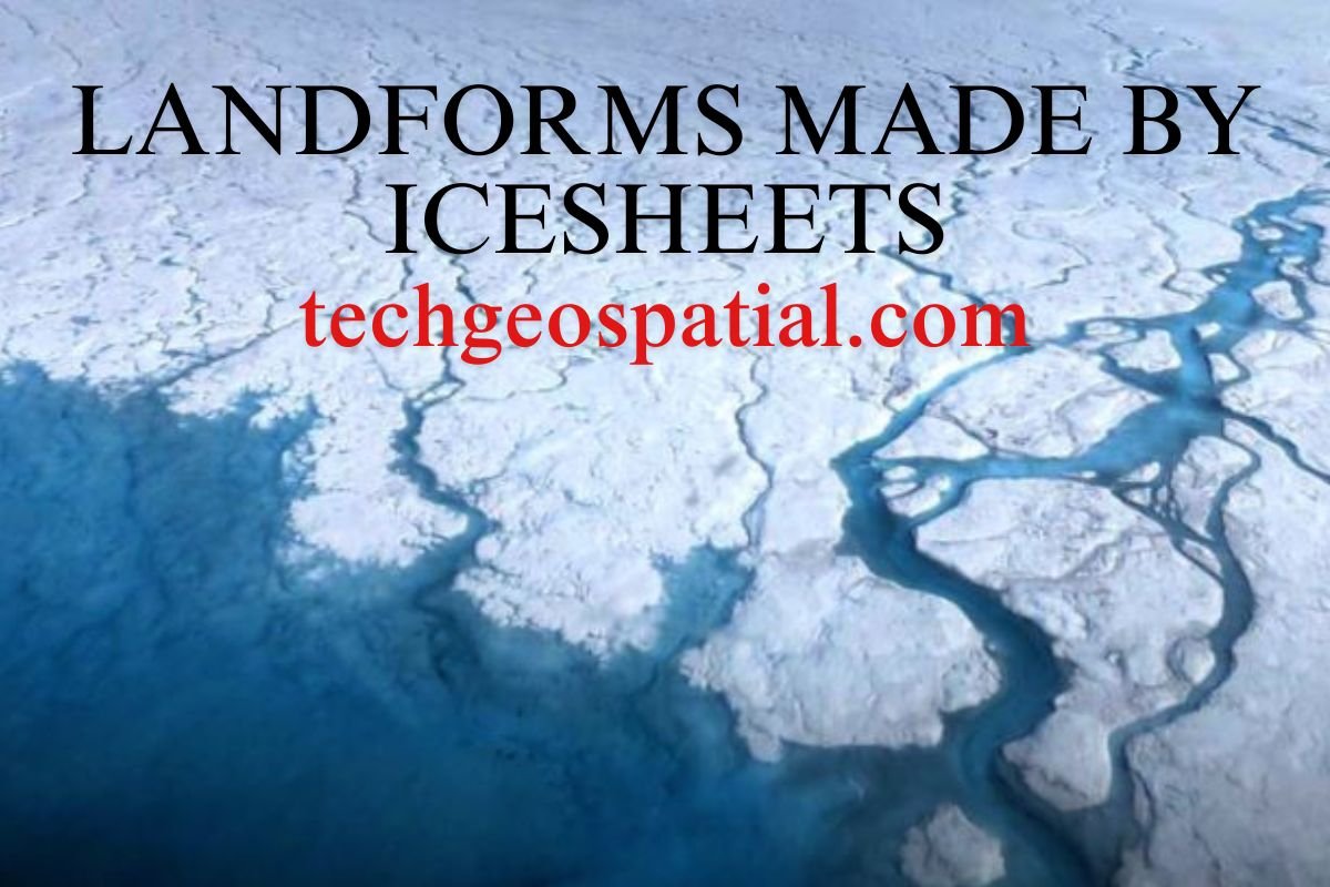
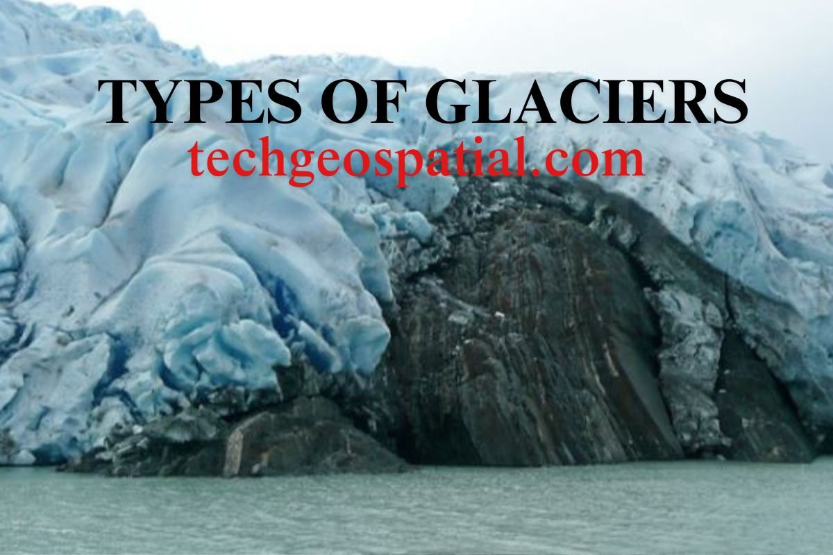
- The Arctic region consists of the Arctic Ocean surrounded by landmasses such as Greenland, Canada, Russia, and Scandinavia. It is experiencing rapid changes due to climate change, with shrinking sea ice and melting glaciers.
- The Antarctic region is a vast continent covered by a thick ice sheet, containing approximately 90% of the world’s ice and playing a crucial role in regulating global sea levels and climate.
Overall, the distribution of land and water on Earth reflects the planet’s dynamic and interconnected systems, influencing climate patterns, biodiversity, and human activities. Understanding these distributions is essential for addressing environmental challenges, conserving natural resources, and promoting sustainable development.

good
nice