1. Introduction to Geospatial Technology
Geospatial technology plays a crucial role in our daily lives, with one of the most prominent examples being the ubiquitous use of Google Maps and GPS-enabled applications on our smartphones. These tools rely on GPS signals and modules within our devices to track our locations, providing us with valuable information such as nearby points of interest, traffic conditions, and more. Geospatial technology utilizes geographic location data to deliver relevant information, making it an indispensable tool in our modern world. Let’s explore further to understand its workings and significance in various sectors.
2. Definition and Importance of Geospatial Technology
Geospatial technology encompasses the use of geographic location data to analyze, interpret, and visualize information about the Earth’s surface and its features. It integrates various technologies such as GPS, remote sensing, and Geographic Information Systems (GIS) to collect, store, manipulate, analyze, and present spatial data.
The significance of geospatial technology lies in its ability to provide timely and accurate location-based information, which is essential in numerous fields including urban planning, environmental management, disaster response, agriculture, transportation, and more. Its time-sensitive nature is crucial, as geographic information is dynamic and constantly changing. For instance, real-time traffic updates on navigation apps like Google Maps demonstrate how geospatial technology adapts to current conditions to provide users with relevant information.
Overall, geospatial technology plays a vital role in decision-making processes, enabling organizations and individuals to make informed choices based on spatial data analysis. Its importance will only continue to grow as our reliance on location-based information increases in an interconnected world.
3. Applications Across Various Sectors
Geospatial technology finds diverse applications across numerous sectors, revolutionizing processes and decision-making in each.
- Manufacturing: Geospatial technology optimizes logistics and supply chain management by tracking shipments, analyzing transportation routes, and identifying optimal warehouse locations. It also facilitates asset tracking, predictive maintenance, and quality control in manufacturing processes.
- Healthcare: In healthcare, geospatial technology assists in disease surveillance, outbreak monitoring, and resource allocation. It enables healthcare providers to analyze patient demographics, identify high-risk areas, and plan effective interventions. Additionally, it aids in mapping healthcare facilities, optimizing service delivery, and enhancing emergency response capabilities.
- Banking: Geospatial technology enhances risk assessment, customer segmentation, and market analysis in the banking sector. It enables financial institutions to evaluate loan portfolios, assess property values, and identify potential fraud. Geospatial data also supports branch location optimization and customer targeting for marketing campaigns.
- Real Estate: Geospatial technology revolutionizes property management, urban planning, and land use analysis in the real estate sector. It provides valuable insights into property values, market trends, and development opportunities. Additionally, it supports site selection for commercial ventures, infrastructure projects, and residential developments based on demographic data and spatial analysis.
Overall, geospatial technology empowers decision-makers across diverse sectors to leverage spatial data for strategic planning, operational efficiency, and informed decision-making. Its versatility and applicability continue to expand as industries recognize the value of location-based insights in driving innovation and growth.
4. Components and Working of Geospatial Technology
Geospatial technology comprises several key components, including GPS (Global Positioning System), remote sensing, and Geographic Information System (GIS), each playing a crucial role in collecting, analyzing, and interpreting spatial data to provide accurate information.
- GPS (Global Positioning System): GPS is a satellite-based navigation system that provides real-time location information anywhere on Earth. It works by using a network of satellites orbiting the planet to transmit precise timing signals. Receivers, such as those found in smartphones or GPS devices, use these signals to calculate their exact position, velocity, and time. This location data is essential for various applications, including navigation, surveying, and asset tracking.
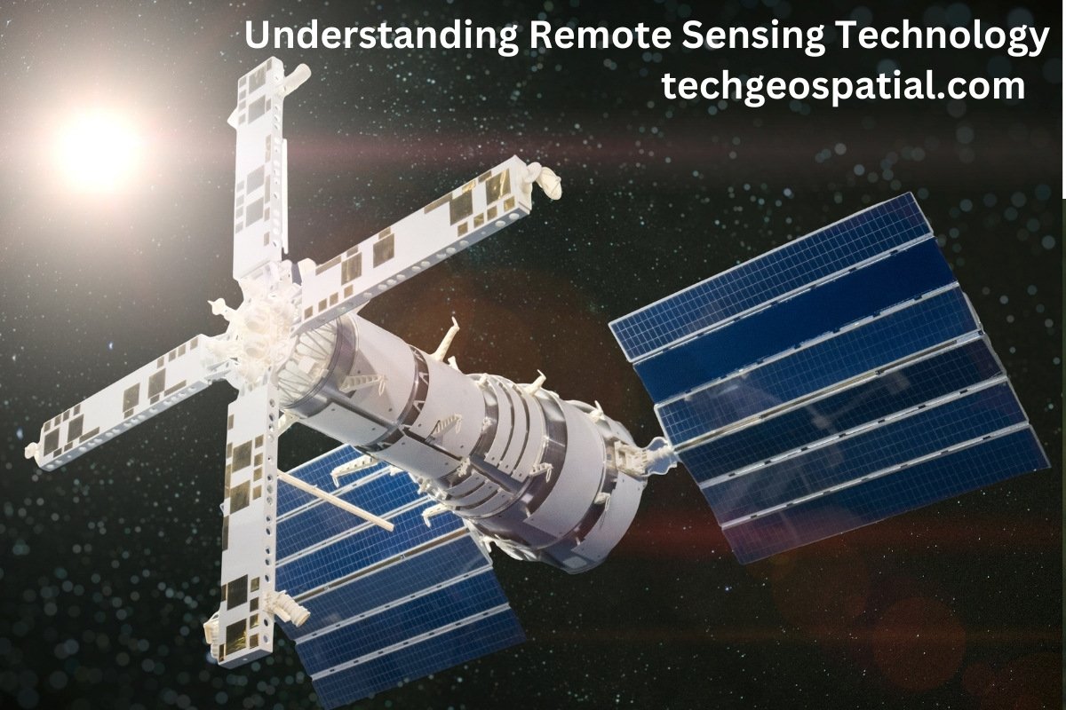
- Remote Sensing: Remote sensing involves the acquisition of information about the Earth’s surface from a distance, typically using sensors mounted on satellites, aircraft, drones, or ground-based platforms. These sensors capture electromagnetic radiation reflected or emitted from the Earth’s surface in different wavelengths, such as visible, infrared, and microwave. By analyzing these data, remote sensing enables the detection and monitoring of environmental changes, land use patterns, vegetation health, and natural disasters. It provides valuable insights for environmental management, agriculture, forestry, urban planning, and disaster response.
- Geographic Information System (GIS): GIS is a software-based system designed to capture, store, manage, analyze, and visualize spatial data. It integrates various data sources, including maps, satellite imagery, survey data, and demographic information, into a single platform. GIS allows users to query, analyze, and interpret spatial relationships and patterns, facilitating informed decision-making. It enables tasks such as spatial analysis, modeling, mapping, and visualization, supporting applications in urban planning, transportation, emergency management, resource management, and many other fields.
These components work together synergistically to provide accurate and comprehensive spatial information. GPS provides precise location data, remote sensing captures detailed imagery and environmental data, and GIS facilitates data integration, analysis, and visualization. By combining these technologies, geospatial technology enables users to gain valuable insights into spatial relationships, patterns, and trends, supporting a wide range of applications across various domains.
5. Historical Background of Geospatial Technology
The roots of geospatial technology can be traced back to ancient times when early civilizations used rudimentary maps and navigation methods to explore and navigate the Earth’s surface. Ancient maps, such as those created by the Babylonians, Egyptians, and Greeks, depicted known lands and important landmarks, serving as guides for travelers and explorers.
One significant advancement in navigation came with the development of the compass by the Chinese during the Han Dynasty (2nd century BC). The compass revolutionized maritime navigation by allowing sailors to determine their direction relative to the Earth’s magnetic field.
In the Middle Ages, the Age of Exploration saw further advancements in cartography and navigation. European explorers like Christopher Columbus, Vasco da Gama, and Ferdinand Magellan used maps and navigational instruments to chart new territories and establish trade routes across the globe.
The 18th and 19th centuries witnessed significant developments in surveying and mapping techniques. Theodolites, sextants, and chronometers became essential tools for accurately measuring angles, distances, and time, enabling the creation of more precise maps and charts.
The advent of aerial photography in the late 19th century marked a major milestone in remote sensing technology. Balloonists and early aviators captured photographs of the Earth’s surface from above, providing a new perspective for mapping and surveying purposes.
In the 20th century, the launch of satellites into orbit revolutionized geospatial technology. The launch of Sputnik 1 by the Soviet Union in 1957 marked the beginning of the space age and paved the way for the development of satellite-based navigation and remote sensing systems.
The Global Positioning System (GPS), developed by the United States Department of Defense, became fully operational in the 1990s, providing accurate positioning and timing information worldwide. GPS transformed navigation, enabling precise location tracking for military, civilian, and commercial applications.
Today, modern tools like Google Maps leverage satellite imagery, GPS technology, and advanced mapping algorithms to provide users with detailed maps, real-time traffic updates, and route optimization features. Geospatial technology continues to evolve rapidly, driving innovation in fields such as urban planning, disaster management, environmental monitoring, and transportation logistics.
6. Types of Geospatial Data
Geospatial data can be broadly categorized into two main types: vector data and raster data, each serving different purposes and representing spatial information in distinct formats.
- Vector Data: Vector data represents spatial information using geometric shapes such as points, lines, and polygons. These shapes are defined by their coordinates and attributes, allowing for precise and scalable representations of geographic features.
Common examples of vector data include:
Points: Represent specific locations on the Earth’s surface, such as landmarks, cities, or GPS coordinates.
Lines: Represent linear features such as roads, rivers, or boundaries.
Polygons: Represent areas or regions defined by a boundary, such as countries, lakes, or administrative boundaries.
Vector data is highly accurate and can be easily scaled, edited, and analyzed. It is commonly used in Geographic Information Systems (GIS) for tasks such as spatial analysis, network analysis, and map overlay operations.
- Raster Data: Raster data represents spatial information as a grid of cells or pixels, where each cell corresponds to a specific location on the Earth’s surface and contains a value representing a certain attribute or property.
Raster data is commonly derived from remote sensing sources such as satellite imagery, aerial photography, or drone imagery. Each pixel in a raster dataset may represent various types of information, including elevation (Digital Elevation Models), land cover, temperature, vegetation indices, and more. Raster data is well-suited for visual interpretation and analysis of continuous phenomena, such as land cover classification, terrain analysis, and environmental modeling.
However, raster data may require substantial storage space, and its resolution may vary depending on the source and acquisition method.
In summary, vector data provides precise and scalable representations of geographic features using points, lines, and polygons, while raster data offers a grid-based representation of spatial information derived from imagery sources. Both types of geospatial data play essential roles in various applications, and their integration enables comprehensive spatial analysis and decision-making.
7. Features of Geospatial Technology
Geospatial technology encompasses a wide range of features and capabilities that empower users to analyze, interpret, and visualize spatial data for various applications. Some notable features include:
-
Geospatial AI:
Geospatial AI combines artificial intelligence (AI) techniques with geospatial data to automate tasks and derive valuable insights from spatial information.
One key application of geospatial AI is in healthcare, where it can automatically analyze hospital occupancy rates, track COVID-19 cases, and predict disease spread patterns based on geographic data.
By leveraging machine learning algorithms, geospatial AI can optimize resource allocation, facilitate emergency response planning, and support decision-making processes in healthcare and disaster management.
-
Autonomous Vehicles:
Geospatial technology plays a crucial role in the development and operation of autonomous vehicles (AVs) by providing accurate positioning, navigation, and mapping capabilities.
AVs rely on geospatial data from GPS, sensors, and mapping databases to perceive their surroundings, plan safe routes, and navigate complex road networks.
Geospatial technology enables AVs to detect obstacles, interpret traffic signs, and make real-time decisions to ensure safe and efficient travel without human intervention.
-
Mapping Industries:
Geospatial technology revolutionizes mapping industries by providing high-resolution imagery, accurate geospatial data, and advanced mapping tools.
Mapping companies and organizations use geospatial technology to create detailed maps, update geographic databases, and conduct spatial analysis for various purposes.
Geospatial technology supports applications such as land surveying, urban planning, natural resource management, infrastructure development, and environmental monitoring.
By integrating satellite imagery, aerial photography, and GIS technology, mapping industries can produce up-to-date maps and spatial datasets for public and commercial use.
Overall, the features of geospatial technology enable diverse applications in healthcare, transportation, mapping, and other sectors, driving innovation and enhancing decision-making processes in an increasingly interconnected world. Geospatial AI, autonomous vehicles, and mapping industries represent just a few examples of how geospatial technology continues to evolve and impact various aspects of our lives.


good